KRISHI VIGYAN KENDRA, MUNGELI, IGKV Raipur (C.G.)

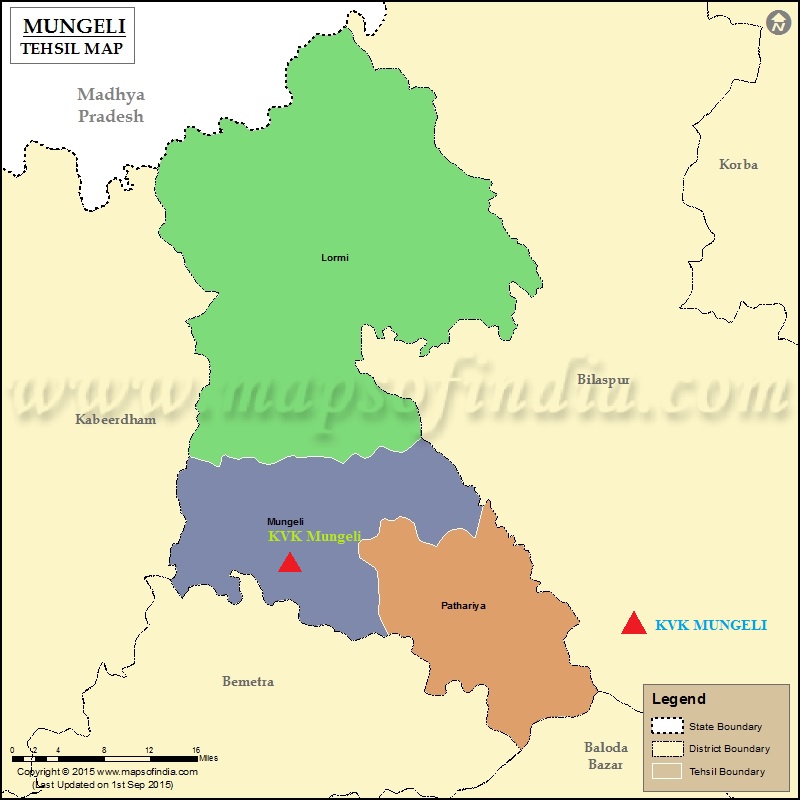
KVK Mungeli was started in the year 2017-18 on dated 25 March 2017. There Invograte have by Hon'ble Prime Minister Shri Narendra Modi in the occation of National Confrence on KVKs through live webcasting on dtated 17th March 2018 at ICAR-IARI New Delhi. The administrative building and instructional farm of KVK has situated at Village Dhakelkapa, Block Mungeli, District Mungeli with 20 ha land. There are 1 Senior Scientist & Head, 6 Subject matter specialists of discipline Agronomy, Plant Pathology, Horticulture, Soil Science, Extension and Fishries respectively. Besides that, a Farm Manager (Contract) was also in the team with two Programme Assistant(Computer), Programme Assistant(Contract), One Driver, One Assistant Grade I.
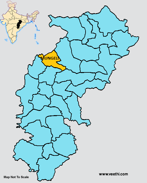
Explore Our ServicesMungeli is one of the most important potential district of Chhattisgarh in terms of area, production and productivity of different crops. Mungeli comes under Chhattisgarh plane region of the state. Total geographical area of district is 2.75 lakh ha. Total cultivated land comes under Mungeli district is 2.34 lakh ha. Nearly 47.30 % area comes under irrigated condition during rabi season and after rice crop utera cultivation is dominant. Mungeli district is comprised of 03 blocks namely Mungeli, Lormi and Pathariya and farmers family is 146010 . Average rainfall of the district is 1071 mm per annum. In Mungeli district there is a low productivity of various crops. This is due to non adoptability of recent agricultural technology and also due to lack of use of improved crop variety seeds, irrigation facilities, poor soil fertility level etc.
DISTRICT PROFILE (2025)
Agro-climatic Zone |
Chhattisgarh Plain |
Geographical area (ha) |
2,75,036 |
Forest area (ha) |
1,11,094 |
Net cultivated area (ha) |
2,24,186 |
Kharif sown area (ha) |
2,23,504 |
Rabi sown area (ha) |
1,23,583 |
Seed Replacement Rate |
60.7% |
Fertilizer Consumption |
NPK kg/ha (Total 112.4 kg) |
Cropping Intensity (%) |
183.26% |
Irrigation (%) |
54.5% |
Avg. rainfall |
1071 mm |
Average size of land holding |
2.0 acre |
No. of block |
03 |
No. of panchayat |
301 |
No. of villages |
711 |
Literacy rate (%) |
64.7% |
Percent tribal population |
35.38%(SC), 10.37(ST) & 61.81(Other) |
Source- Department of Agriculture and Bio technology, Mungeli
Get in touch with our agricultural experts for personalized solutions
Village : DhakelKapa, Chamari
Post : Banki, Nirjam Road
District : Mungeli (Chhattisgarh)
Pin No. : 495334
+91-7755796507
kvk.mungeli@igkv.ac.in